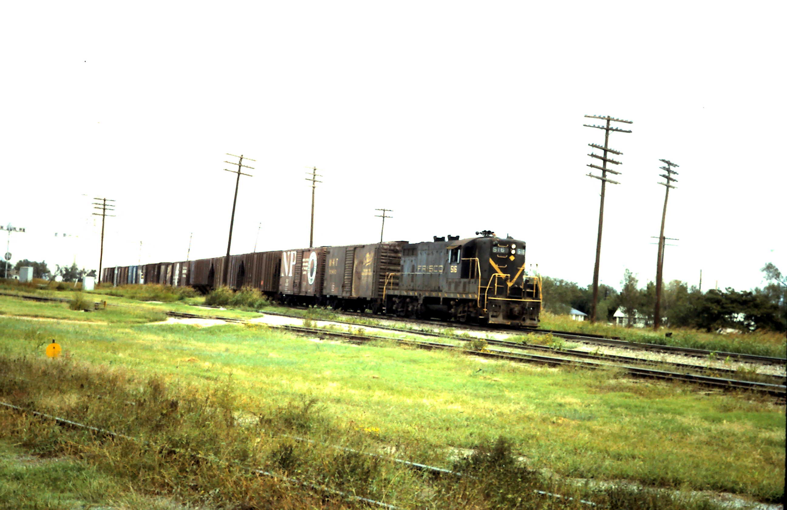
One Response to GP7 516

  1. Mark Davidson says:

    Location is Enid, Oklahoma.

    Train is approaching the road grade crossing with North 4th Street. It is westbound on the Beaumont Subdivision. Interesting to note the Frisco’s Perry Subdivision used the Beaumont Sub between Steen at mile post MP 583.9 (Perry Subdivision MP 543.1) and Enid (1.8 miles). Enid is just ahead at MP 585.7 (Perry Sub MP 544.9).

    The locomotive has just passed the railroad crossing at grade, with automatic interlocking, with the C.R.I.P. (Chicago, Rock Island and Pacific Railroad) at MP 585.0. This is just southeast of the large Pillsbury Company flour mill and its 2,500,000-bushel elevator. The mill has a capacity of producing 7,654 barrels (1,500,000 pounds) of white flour and 1,530 barrels (300,000 pounds) of whole wheat per 24-hour period. The photographer is northwest of the diamond crossing. The diamond crossing is very near the fourth car in the train.

    The north home interlocking signal on the Rock Island’s main track is near the middle-left edge of the photograph. This signal governs and protects southward movements on the Rock Island. On the Rock Island the SL-SF crossing is MP 340.5. This is their north / south mid-continent main line from St. Joseph, MO through Topeka, Herington and Wichita, KS, Enid, El Reno and Duncan, OK to Fort Worth, Dallas, Houston and Galveston, TX. Rock Island’s main local yard is to the north (left) at North Enid, MP 338.6. To the south is their Enid, MP 341.8, passenger depot at 115 East Market Street / East Owen K Garriott Road.

    Above this signal are windows on the horizontal gallery above the round silos of Union Equity’s 7,600,000 bushels Elevators A. This elevator complex consists of 2 parallel elevators, north and south of one another, on an east / west axis. Further east (right) above the train but bleached out against the sky is Union Equity’s 11,000,000 bushels Elevator B. Elevator B was the first to use innovative design hexagon silos that maximize storage space. Viewed from above the hexagon shaped silos appear to form an interconnected honeycomb.

    To the right of the first telegraph pole from the left is the Frisco’s east home signal. This signal governs and protects westward Frisco movements on the main line across the CRIP diamond crossing. Out of view on the south side of the train is the Atchison, Topeka and Santa Fe (ATSF) Railway’s east home signal. Their signal protected westward movements out of their 10th Street Yard onto trackage rights on the Frisco and over the Rock Island crossing.

    The track beside General Motors (GM) Electro-Motive Division (EMD) GP7L, phase I, locomotive SLSF 516 is the connection to the Rock Island Railroad. The track in the lower foreground with the round yellow switch stand target leads to the 2 tracks on the west side of the Pillsbury mill and elevator. The next track north leads to the 3 tracks on the east side of the mill. Visible is the most southern switch stand that leads to mill track 1 and a little further northeast mill tracks 2 and 3.

    Ahead and south of the locomotive at its front pilot footboard level, almost hiding in the vegetation to the right of the telegraph poles, is the two vertical light dwarf signal head at the north end of the Frisco’s “city tracks”. This signal governs eastward movements onto the Frisco’s main line and across the diamond with the Rock Island. South of this signal, parallel to and west of the Rock Island main line, is a Frisco industrial area just northeast of downtown central business core. This area included an interesting 400’ long open deck wood pile trestle with switch turnout located above East Elm Street leading to an alley track.

    The turnout was near the midpoint of the trestle. The connecting diverging trestle extended to the alley on the west side of North 3rd Street. The alley track extended to near North Grand Avenue, serving industries between East Elm Avenue and East Maple Avenue. The straight through route terminated at team tracks north of East Broadway Avenue. The “city tracks” spur and its 3 stub branches extended over 10 blocks south, 3 blocks west and served dozens of industries.

    View is looking east northeast.

    Hope this helps.

    Thanks!

    Mark

Leave a Reply